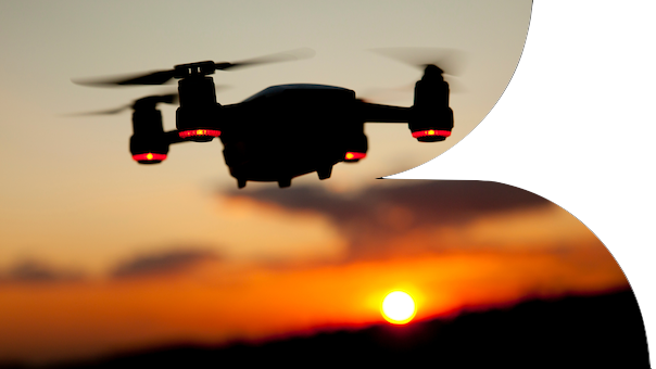
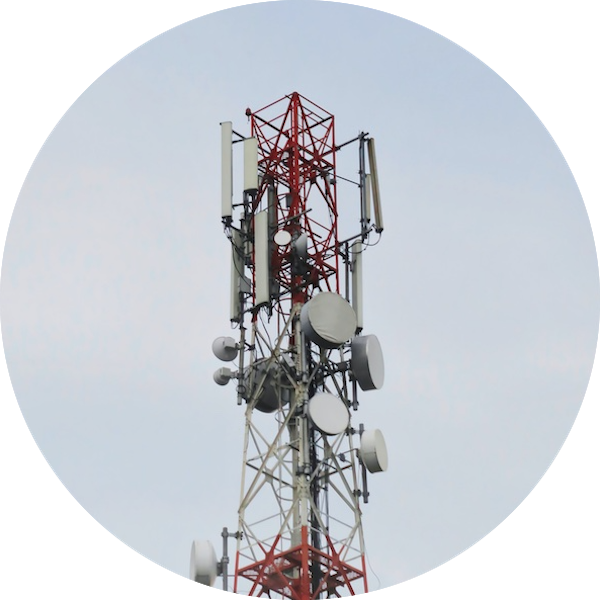
XGAIN provides a decision support tool using 5G-and last-mile provision in remote areas is tailored to the needs of communities, farms and forestry. In Lithuania, innovative crop assessment technology based on drones/planes and hyperspectral cameras are working on multidimensional data aggregation and heavy load computation. Current situation in rural connectivity limits its usage to the bigger farms. Therefore, it is important to provide hybrid solutions of local (drones/local server processing) as well as edge or cloud-based solutions, to efficiently handle data transferring from areas with limited internet connectivity such as a farm field of forests.
Depending on the strength of the 5G connection there are 2 main scenarios:
- Direct transmission (when in proximity to the cell centre) - the collected data could be transmitted to the cloud server directly from the drone after the data is pre-processed using on-board edge technologies. It is possible only with a stable 5G cellular connection.
- Partially direct transmission, when the end device resides at the cell edge, UAV collects data in fields, forests, or other environmental locations and then returns to the original base - receiving station. Using edge technologies data can be pre-processed and then sent to the cloud server after the 5G signal strength is improved.
Depending on the server-side algorithm’s performance, users of the tool should be able to get the results and plan their actions after a timeframe of 5 to 10 minutes. The planned edge equipment is suitable for complex nonlinear multidimensional optimization and data analysis models, such as various neural networks, enabling on-situ heavy computation tasks that would provide efficient transmission policies.

